 |
 |
 |
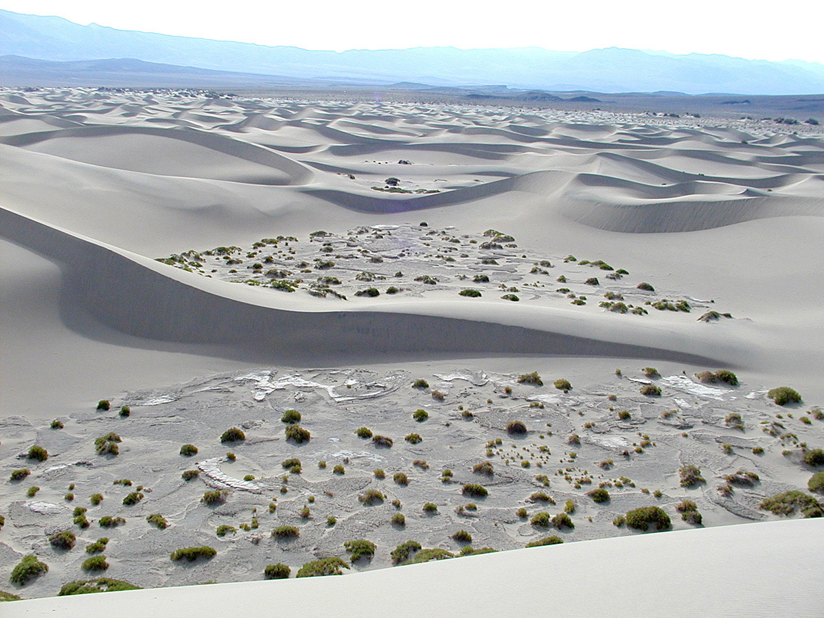
I took a trip to Death Valley over the weekend of August 14, 2004. The weather forecast indicated that it wasn’t going to be too hot (the temps were forecast to be 111° on Saturday and 117° on Sunday) and the weatherman promised that it would be dry. August in Death Valley is the second driest month of the year with only 0.1" of precipitation so I didn’t bring my AeroStich but I did bring a tent…just in case.
The weatherman wasn’t quite on his game because the highest temp on Saturday was 109° and we got “some” rain on Saturday. There was enough rain that I witnessed a flash flood (will have pictures posted soon) and enough rain on Saturday night to leave puddles where I slept.
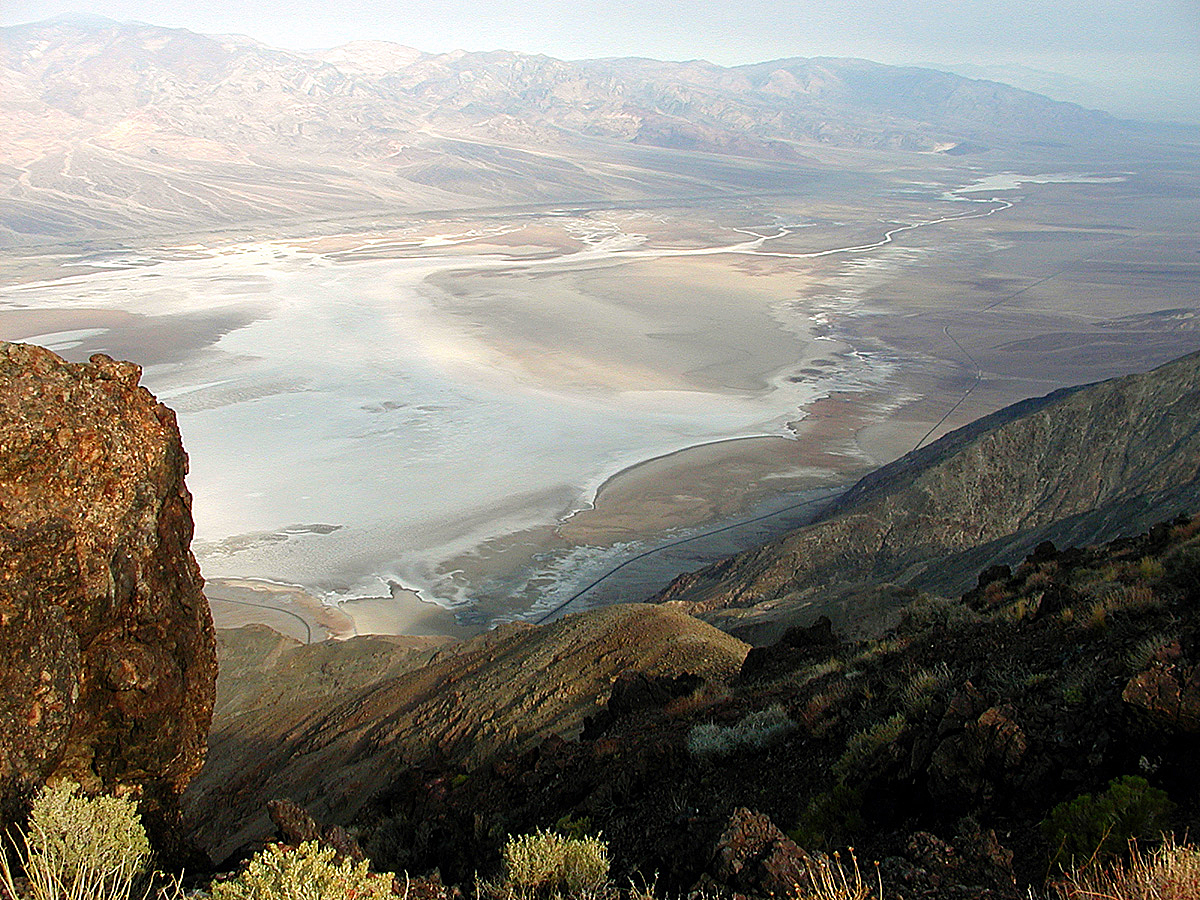
The campground at Furnace Creek was 106° at 9 PM on Saturday night so I went to Dante’s View (5,475') and was wise enough to sleep in the parking lot there instead of “just down the hill” at a rest stop. The rains woke me up, earplugs and all, at 3:45 AM. I got back to sleep but Mother Nature was just getting warmed up and the storm collapsed my tent at 6:45 AM. There was standing water on Dante’s View and flash floods forced the Park Service to close about 30 miles of roads in Death Valley.
I needed to leave Death Valley on Sunday morning at about 10 AM and the problem that I faced was that all of the roads leading north from Furnace Creek were closed! I had to choose a route to get back to Folsom so I fired up my Garmin GPS 60 C and let it’s little electronic brain be my guide.
There were two possible routes to get back to Folsom. Both routes had to go south from Furnace Creek but one, the “mountain” route, went east into Nevada, then north and west over the mountains to Bishop, CA where I could catch 395 north and 50 west. The other option was the “I-5” route which went south to Baker then west to Mojave and north on I-5.
You can see the road map for the mountain route by clicking here or check out the topo map here. Click here for road map of the I-5 route and click here for the topo map.
I opted for the mountain route.